What this division brings to the property.
Surveying, topographic data, drone mapping and site planning help define boundaries, elevations, existing conditions and constraints before major decisions are made.
Integrated service division
Accurate site information that gives design and construction teams a better place to begin.
Surveying, topographic data, drone mapping and site planning help define boundaries, elevations, existing conditions and constraints before major decisions are made.
Work in this division
Photography from DSLD’s current portfolio, selected to show the type of planning, construction and finished work handled by this division.
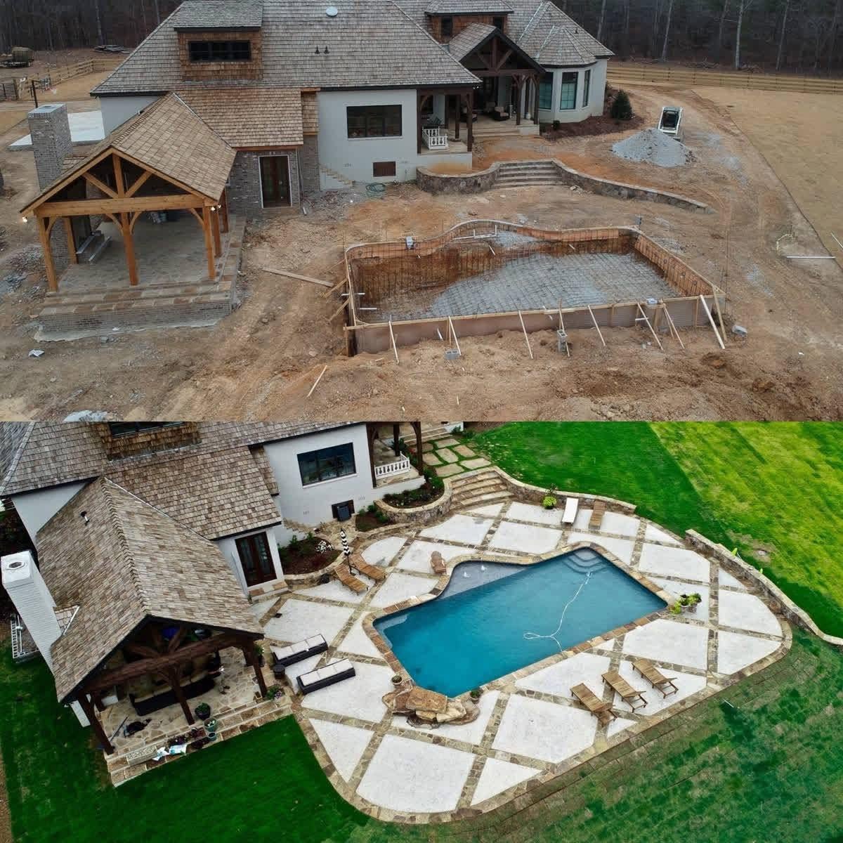
Aerial progress & before-after documentation

Drone LiDAR & site-data collection

Aerial review of the finished site
Capabilities
One accountable team
Projects can draw on the disciplines the property requires without losing continuity between planning, technical work and construction.
Project inquiry
Share your goals, location and timing. It’s fine if you’re still exploring. Prefer to talk? Call 205-437-1012.
Thank you for considering DSLD.
Your inquiry has been received. Our team will review your project details and contact you to discuss the next step. You can also reach our office directly:
Privacy note. The information you provide is used to evaluate your inquiry and follow up. Please do not include sensitive personal or financial information.