What this division brings to the property.
Surveying, topographic data, drone mapping and site planning help define boundaries, elevations, existing conditions and constraints before major decisions are made.

Integrated service division
Accurate site information that gives design and construction teams a better place to begin.
Surveying, topographic data, drone mapping and site planning help define boundaries, elevations, existing conditions and constraints before major decisions are made.
Work in this division
Photography from DSLD’s current portfolio, selected to show the type of planning, construction and finished work handled by this division.
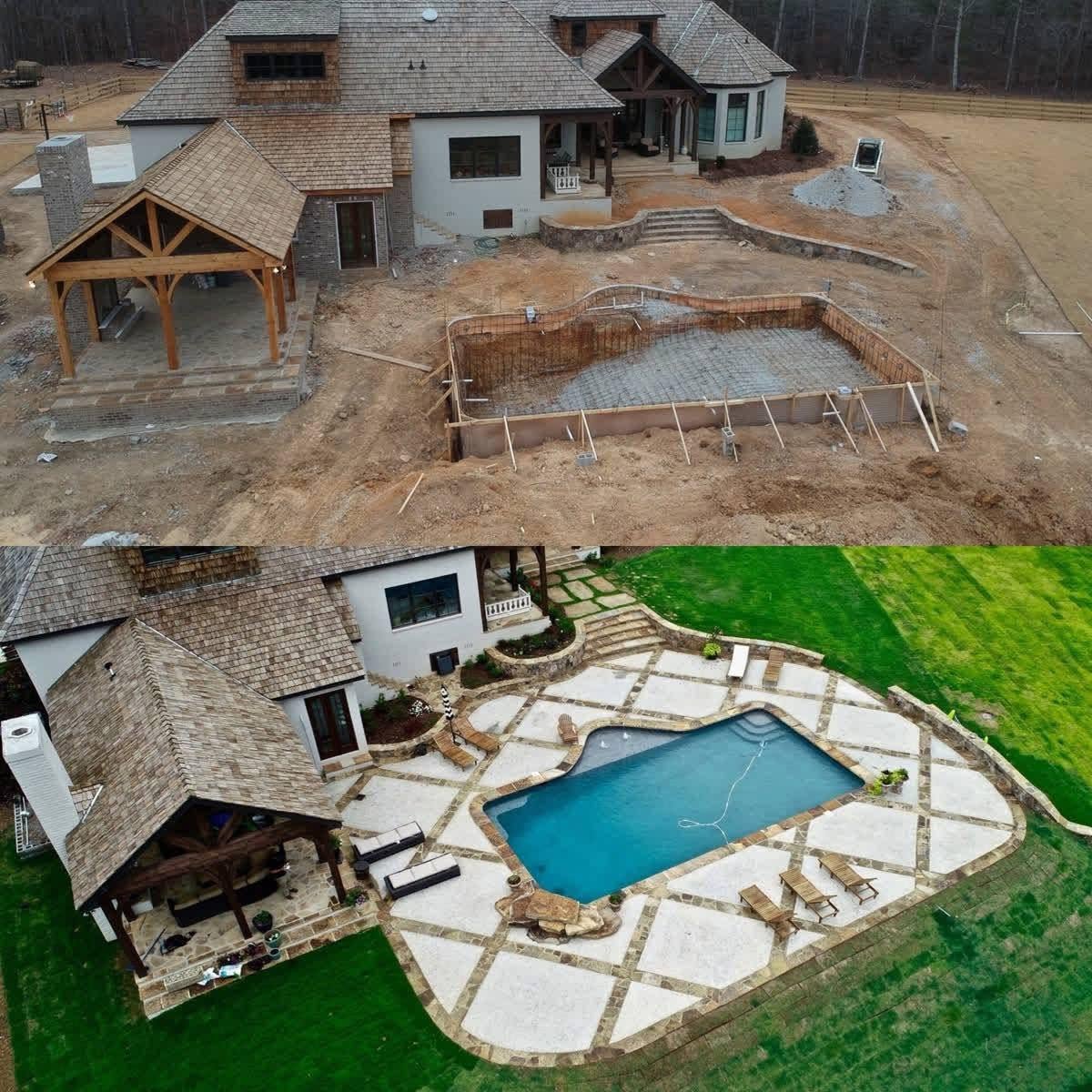
Aerial progress & before-after documentation
Drone LiDAR & site-data collection

Aerial review of the finished site
Capabilities
One accountable team
Projects can draw on the disciplines the property requires without losing continuity between planning, technical work and construction.
Start with the site and the goal
Share your location, priorities, project stage and desired timing with the integrated team.